Devil's Cornfield
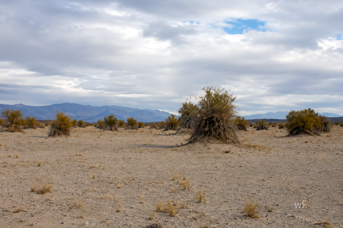
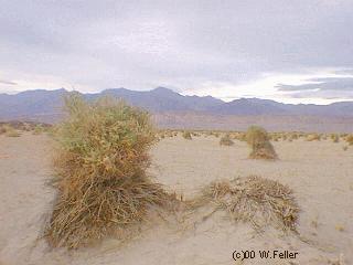
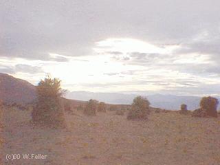
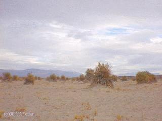
Along Highway 190 between Stovepipe Wells and Furnace Creek is one of Death Valley's most unusual landscapes. Known as the Devil's Cornfield, it is a broad expanse of dry arrowweed growing atop small mounds of earth. To early travelers, the plants resembled rows of weathered corn stalks. Since nothing edible could possibly grow in such a harsh place, someone joked that "only the devil could have raised a crop here." The name has remained ever since.
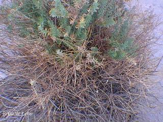
Despite its barren appearance, the Devil's Cornfield is thriving. Here, arrowweed (Pluchea sericea), a shrub commonly found near springs, marshes, and streams throughout the deserts of the American Southwest, grows only where its roots can reach groundwater. The Devil's Cornfield is therefore visible evidence that water still lies beneath Death Valley's dry surface.
This remarkable landscape has its origins in the distant past. During the Ice Age, Death Valley contained Lake Manly, a freshwater lake more than 80 miles long and hundreds of feet deep. As the climate warmed and became drier, the lake gradually disappeared, leaving thick deposits of fine clay, silt, and sand across the valley floor.
Over thousands of years, wind became the dominant force shaping these sediments. Powerful winds sweeping through Death Valley continually removed loose material from the surface. Around each arrowweed plant, however, the extensive root system anchored the soil in place. As the surrounding ground slowly eroded, the protected soil beneath each shrub remained, creating the low hummocks seen today. This process, known as deflation, is one of the finest natural examples of aeolian erosion in North America.
Completing the landscape is a covering of desert pavement. As wind removes finer sediments, pebbles and small stones remain behind, forming a tightly packed protective layer that reduces further erosion. Together, the desert pavement and arrowweed hummocks create a landscape that appears carefully sculpted, although it is entirely the product of natural processes.
Beyond its ecological role, arrowweed has long been an important resource for Native peoples of the Mojave and Sonoran deserts. Its straight, durable stems were used for arrow shafts, house walls, shade structures, fences, mats, fish traps, and roofing. Wherever groundwater supported its growth, arrowweed provided an abundant source of useful building material.
The Devil's Cornfield also supports a surprising variety of wildlife. The shrubs provide shade, shelter, and protection for insects, lizards, rodents, and birds. Each hummock forms a small island of habitat within an otherwise open and exposed desert.
The area is also a lesson in how to read the landscape. At first glance it appears to be little more than scattered brush growing from gravel. A closer examination reveals evidence of an ancient lake, hidden groundwater, wind erosion, desert soil development, and remarkable plant adaptation. Each mound represents centuries of gradual change rather than a single dramatic event.
Photographers often visit the Devil's Cornfield during the early morning or late afternoon, when the low sun casts long shadows across the hummocks. The angled light emphasizes the texture of the desert pavement and highlights the sculptural forms of the arrowweed. Under these conditions, one of Death Valley's simplest landscapes becomes one of its most striking.
The Devil's Cornfield reminds visitors that deserts reward careful observation. What first appears empty is actually rich with geological history. Beneath the gravel lies the record of an ancient lake. Beneath the dry surface, groundwater continues to sustain life. Above it all, wind carries on the slow work of shaping the valley, just as it has for thousands of years.
References
Hunt, C. B. Death Valley: Geology, Ecology, Archaeology.
Sharp, R. P. Introduction to Geomorphology.
National Park Service. Death Valley National Park Geology and Natural Features.
United States Geological Survey. Death Valley geology and desert geomorphology.
Mensing, S. A., et al. Research on Lake Manly and Death Valley paleoclimate.
Further Reading
Norris, T., and Norris, B. Geology of Death Valley.
Death Valley Natural History Association publications.
National Park Service. Death Valley National Park Visitor Guide.
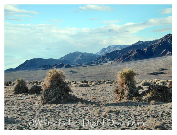
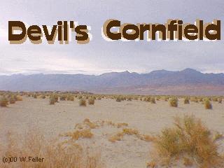
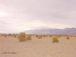
Clumps of salt withstanding Arrowweed appear as shocks of corn in a harvest field. The presence of the plant growing on the sandy mounds indicate a shallow water table (only 5 feet).
 -
- 
 -
- 
 -
- 
 -
- 
Mosaic Canyon
Mesquite Dunes
Devil's Cornfield
Salt Creek
Titus Canyon
Leadfield
Keane Wonder Mill
Keane Wonder Mine
Keane Spring
Chloride City
Stovepipe Wells
Death Valley Map
State Route 190
Ecology